A mix of cloudy skies, sunshine and thunderstorms are expected across parts of the country today Wednesday, July . This was forecasted by the Dr. Ignatius Kweku Williams, Deputy Director General in charge of Operations at the Ghana Meteorological Agency during an interview on TV3’s Ghana Tonight, Tuesday, June 30. Although periods of sunshine and sunny intervals are also anticipated in Southern Ghana, mostly cloudy conditions are expected to prevail through much of the afternoon.
Cloudy conditions during the morning, with mostly sunny weather and intermittent cloud cover expected by the afternoon at the Northern Ghana. During the late afternoon, some parts of the northern sector has been forecasted to experience thunderstorms or rain. The public has been advised to take the necessary precautions by monitoring subsequent weather updates.
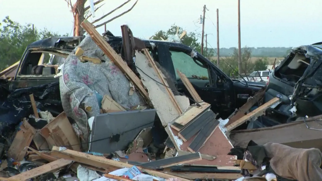
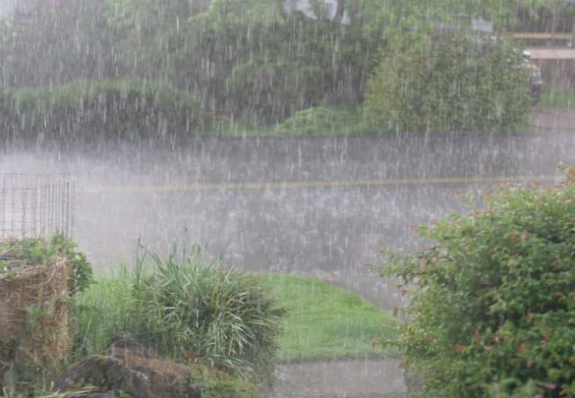
Ghana on Monday, June 29, witnessed a series of flooding incidents in some parts of the Greater Accra Region following heavy rains. The rains, which started late on Sunday, June 28, left commuters stranded, brought traffic to a standstill, and resulted in the deaths of several individuals.
Affected areas include parts of the N1 Highway, Apenkwa towards Tesano, the Accra–Kasoa stretch, Weija, Mallam, Achimota, Spintex, Atomic in Madina, Kaneshie, Darkuman Junction, portions of the Kwame Nkrumah Interchange, and other surrounding communities.
The Ghana National Fire Service Public Relations Department has confirmed that the current death toll from the flooding incidents stands at 12. Meanwhile, President Mahama has directed the Finance Minister to disburse a sum of GH¢300 million from the Contingency Fund to individuals affected by the incident.
The directive forms part of the government’s response to the flooding of parts of Accra and other communities in the southern sector of the country after hours of unusually heavy rainfall. In Ghana, the Contingency Fund is a constitutional fund set aside to meet urgent and unforeseen government expenses that cannot wait for the normal budget approval process.
It is established under Article 177 of the 1992 Constitution of Ghana.
In a statement issued on behalf of the President by the Spokesperson to the President and Minister for Government Communications, Felix Kwakye Ofosu, it was indicated that the GH¢300 million will be divided into two, with portions designated to provide relief and implement measures to mitigate flooding.
“President John Dramani Mahama has directed the Minister for Finance to release GHS 300 million from the Contingency Fund to finance urgent flood relief and mitigation efforts.
GHS 150 million out of the amount will finance urgent relief efforts for flood-affected persons and communities in the southern sector of the country. Another GHS 150 million will be spent on flood mitigation measures aimed at reducing incidents of flooding,” parts of the statement read.
Also, due to the scale of destruction and the effects of the floods, President Mahama has ordered that additional support be provided by the Ghana Armed Forces and other security services for the rescue operations ongoing across the city.
“The President has also directed the deployment of personnel of the Ghana Armed Forces and Police to work with NADMO and other security services in the rescue and relief operations currently underway across the city,” adding that, “the President earlier today undertook an aerial tour of the flooded areas to assess the full extent of the situation and announced a raft of steps being taken to safeguard residents and prevent further flooding.”